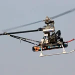
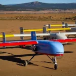
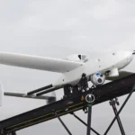
GNSS positioning (Global Navigation Satellite Systems) plays a key role in today’s transportation industry, including UAV technology (Unmanned Aerial Vehicle).
It has enabled precise navigation from point A to point B worldwide, and increased the safety of flights by avoiding concrete pre-programmed exclusion zones (like airports, military areas, country borders, etc.) as well as allowing real time tracking.
However GNSS presents some vulnerabilities too. On the one hand, its radio signals are susceptible to be jammed or spoofed and on the other hand GNSS does not provide information on the surrounding moving objects that the drone would have to circumvent or the moving object in which the drone would have to land.
Concepts that would affect an UAV
GNSS jamming and spoofing are different concepts that would affect an UAV in different ways.
Jamming would be the malicious interference of the GNSS signals with the purpose of making the GNSS receiver lose the ability to provide a position estimation, that is, the GNSS receiver stops working.
On the other hand, spoofing is a more advanced attack in which the “enemy” generates fake GNSS signals that emulate the real ones with the intention of generating a specific position estimation in the GNSS receiver, that is, the attacker takes control of the GNSS receiver and tells the UAV that it is in a different position that it actually is.
Of course these attacks get more dangerous in maneuvers that take place at low altitude, mainly during the take-off and landing. A spoofing attack that tells the UAV that it is higher than it really is, would trigger a desired velocity down response, which could potentially make the aircraft crash if it is not detected on time. This is why in some critical missions, not depending on GNSS for take-off and landing maneuvers is an essential basic requirement.
Apart from those problems, if the aircraft has to automatically land in a moving platform, things get trickier. In these cases a relative position measurement is essential, since it would allow the UAV to make the necessary corrections to adapt its speed to the moving platform position for a highly accurate landing
Veronte autopilot and its compatibility with the Internest system
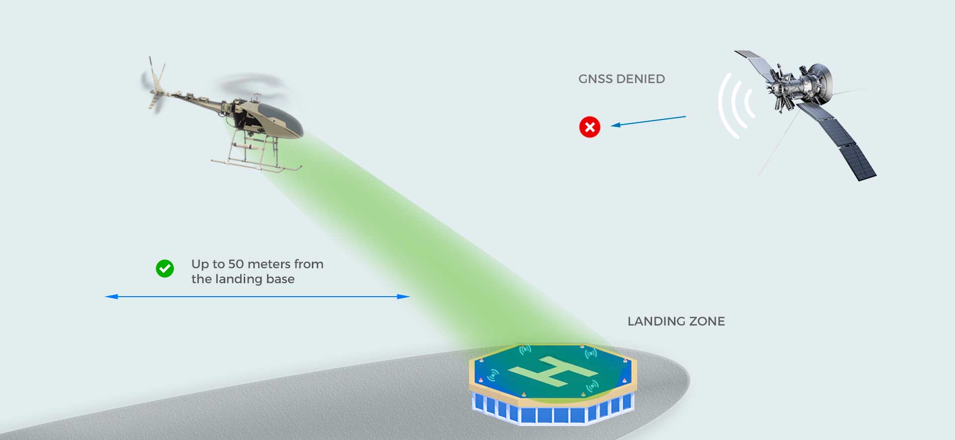
These GNSS denied landings in moving vehicles are achieved in Veronte autopilot by means of its compatibility with the Internest relative position measurement system, whose measurements are input in our internal navigation filter estimator. The Internest system relies mainly on ultrasonic signals for the close approach, reaching distances of up to 50 meters from the landing base.
Veronte autopilot can be used to navigate to the proximity of the landing base using standard GNSS signals and once the aircraft is in the coverage of the Internest sensors field of action, it can switch to full relative navigation.
The combination Veronte-Internest manifests our commitment with a safer and more accurate navigation and landings.
